1
2
3
4
5
6
7
8
9
10
11
12
13
14
15
16
17
18
19
20
21
22
23

24
25
26
27
28
29
30
31
32
|
PLATTE
CANYON |
|
|
| UNIT II | ||
| MAPPING: TOPOGRAPHIC MAPS |
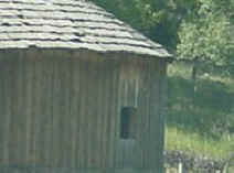
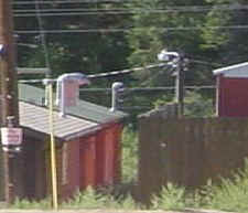
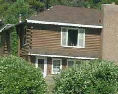
CAN YOU FIND IT?
or
HOW OBSERVANT ARE YOU?
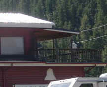
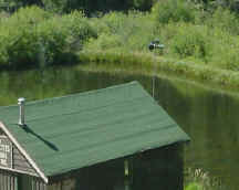
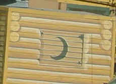
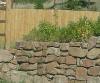
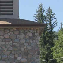
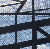
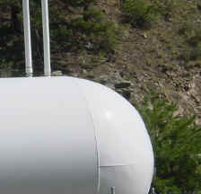
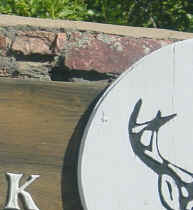
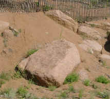
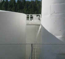
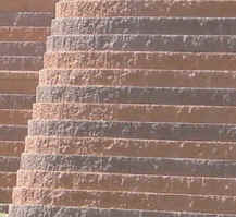
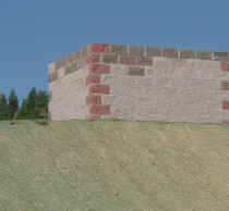
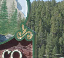
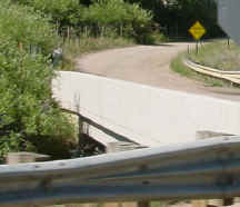
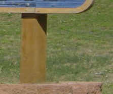
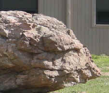
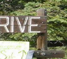
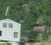
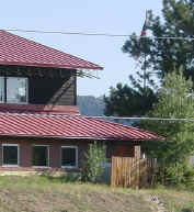
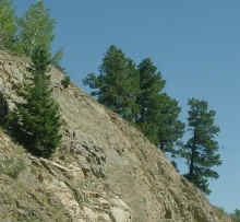
All of the pictures below are of places between Pine Junction and Platte Canyon High School. Most are along Highway 285, but a few are north or south of the highway. All are along major county roads.
Look very carefully at each picture and when you have identified it, use Google Earth to mark its location.
1. Mark the location using the placemark tool.
a. be as precise as possible - reposition the icon if necessary.
b. label the placemark with the photo number (e.g., 1, 2, 3, ...)
c. in the description area, type in the name of the picture (e.g., PCHS Football Field), its latitude and its longitude using
the following format: (##d ##m ##.##s N). Latitude and longitude numbers need to be to the
hundreths of a second. Below is an example of what it should look like.PCHS Football Field <br>
39d 25m 09.53s N <br>
105d 31m 59.56s Wthe <br> after the first two lines will insert a line break so the tag formats properly - otherwise it will be strung together in one long line.
2. When you have done all of the images or as many as you want to do, place them in a folder named Find It Your-Last-Name and save it as a .kmz file. Check with me if you need assistance on doing this part.
3. Send the file either by email to me or copy it to a disk and give it to me in class for credit.
4. Duplicates will not be accepted. It must be your own work.
5. The assignment is worth 0.5 extra credit points for each correctly identified and located pictures. A total of 16 possible points are possible.
|
1 |
2 |
3 |
4 |
|
5 |
6 |
7 |
8 |
|
9 |
10 |
11 |
12 |
|
13 |
14 |
15 |
16 |
|
17 |
18 |
19 |
20 |
|
21 |
22 |
23 |
24 |
|
25 |
26 |
27 |
28 |
|
29 |
30 |
31 |
32 |